 Local App Ecosystem
Google Maps works well in Japan for trains, but falls short on buses, rural routes, and shinkansen planning. Here's what locals use instead.
- Google Maps transit
- Accurate for trains, weak on buses
- Yahoo! Japan Transit
- Better bus routing + fare detail
- Hyperdia
- Best for shinkansen planning
- Google Maps offline
- Works well: download before trip
- Maps.me
- Good offline backup
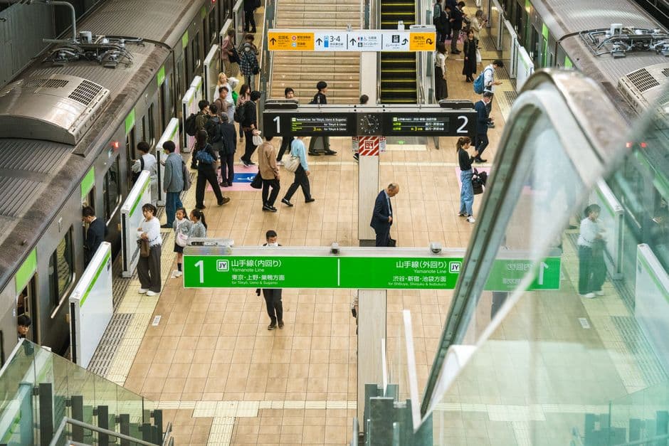
Google Maps handles the Yamanote Line in Tokyo without a hitch. Ask it for a rural bus in Kyushu or a specific shinkansen fare breakdown, and it starts to crack. That gap matters because Japan's transit network is among the most complex on earth: over 200 railway operators, thousands of bus routes, and a web of express, limited-express, and local designations that change the fare dramatically.
Where Google Maps Actually Works
For urban rail in Tokyo, Osaka, and Nagoya, Google Maps is reliable. It knows most JR and subway departure times, platform numbers, and transfers. Offline maps (download the region before you land) are solid for walking navigation and will serve you well in central city areas even without data.
Google Maps also handles driving directions competently, though it occasionally misses highway entrance ramps and is not optimised for Japan's toll road system. For driving, Yahoo! Car Navigation (iOS and Android, free) is the local standard and integrates live traffic data far better.
Where It Falls Short
Bus routing is the biggest weakness. Japan has thousands of municipal and private bus operators. Google Maps carries data for major urban systems, but rural and regional buses (the ones you need for Hakone, Iya Valley, or the Kumano Kodo pilgrimage trails) are frequently missing, outdated, or showing incorrect fares. Relying on Google Maps for a rural bus connection is how travellers miss the last service of the day.
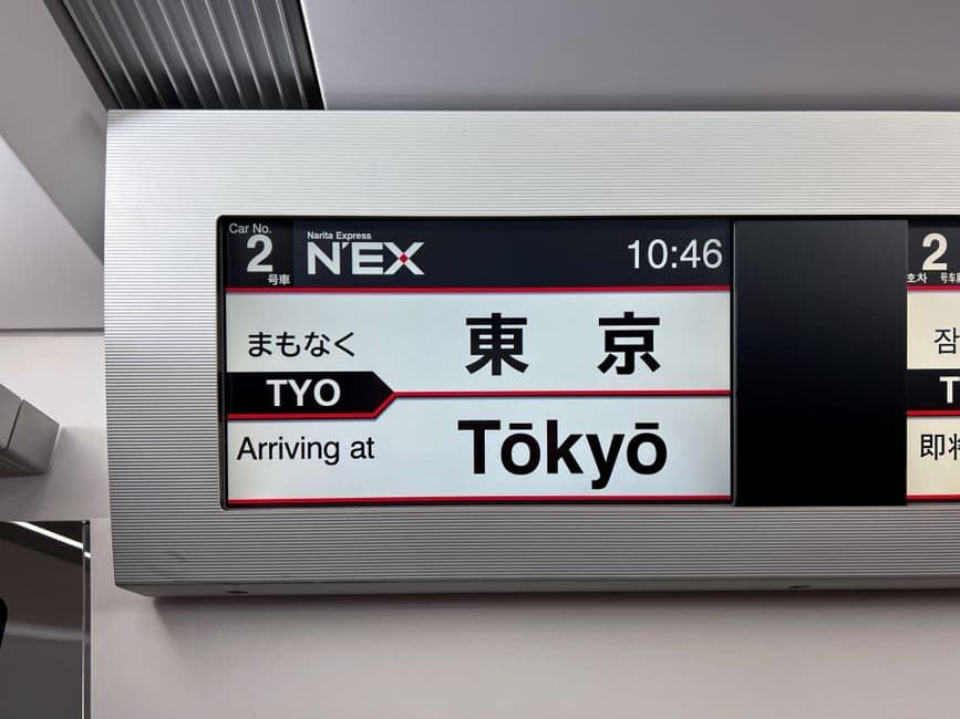
Shinkansen fare detail is limited. Google Maps will tell you that a Nozomi departs Shin-Osaka at 14:33 and arrives in Tokyo at 16:48, but it will not break down the fare into base fare plus limited-express supplement, and it will not calculate the exact cost if you hold a JR Pass (which exempts you from Nozomi but not Hikari or Kodama on some lines). That distinction is worth thousands of yen.
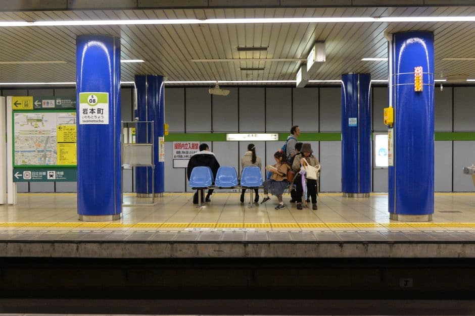
Walking directions in dense areas can be imprecise. Underground shopping arcades and multi-level stations (Shinjuku has 200 exits) can confuse the routing, and the map does not always reflect whether a passage is open at night.
The Apps That Fill the Gaps
Yahoo! Japan Transit (乗換案内) is the go-to for bus and rail. It queries fare databases that most foreign apps do not access, and it displays the breakdown (base fare, express fee, IC card discount) line by line. The interface is in Japanese but navigable: tap the first field for departure, second for arrival, set the time, and tap the orange button. Results show platform numbers, transfer minutes, and real-time delay alerts pulled directly from operators.
Hyperdia (web and iOS) has long been the reference for shinkansen planning among travellers. It lets you filter by train type (exclude Nozomi to plan JR Pass-compatible routes) and shows every reserved-seat option by departure time. Less useful for city subways, invaluable for intercity.
Maps.me downloaded offline is a dependable backup for walking and cycling. It uses OpenStreetMap data, which in Japan is remarkably detailed in rural areas where Google's offline coverage is thin.
A Practical Setup Before You Land
Download the Google Maps offline region for every prefecture you plan to visit, useful for walking even when the transit data fails you. Install Yahoo! Japan Transit and save the Google Translate camera function on your home screen: you will need it to parse transit screens and station signage outside tourist areas.
For shinkansen trips, plan seat reservations via Hyperdia or the JR Ticket app, then cross-check departure times in Google Maps if it reassures you. The two rarely contradict each other on major lines.
IC Card + App Pairing
Load a Suica or ICOCA card (physical or via Apple/Google Wallet) and use Yahoo! Japan Transit for routing. Fares shown in the app match exactly what the gate deducts: no surprises at the exit barrier.
Japan rewards travellers who use the right tool for each task. Google Maps is a strong starting layer. It is not the whole toolkit.
Does Google Maps work in Japan?
Yes, Google Maps works in Japan, but station interiors, platform exits and private railway transfers can be difficult to interpret. Cross-check complicated routes with a Japan-focused transit app or the operator’s station signage, especially when changing trains.

 Local App
 Local App